


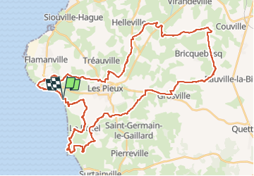

23 km | 28 km-effort


User


FREE GPS app for hiking
 SityTrail
IGN / Geographical institutes
SityTrail World
The world is yours!
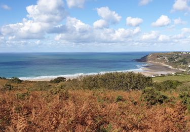
Trail Mountain bike of 51 km to be discovered at Normandy, Manche, Les Pieux. This trail is proposed by ves.
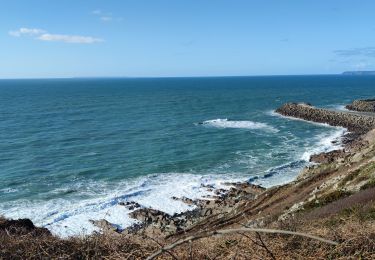
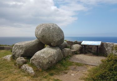
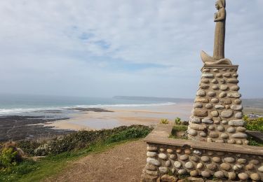
Une belle boucle de 50 km dans les chemins et sentiers côtiers.

Walking
Walking

Mountain bike

Mountain bike

Running
Walking
Walking

Mountain bike